We entered from the Regency Gate trailhead in Clayton Valley, CA. It was a lovely January day in the Bay Area, with heat approaching near record temperature for January - it was sunny and 75 (ish). The sun was still low in the sky because of the time of year, but with no clouds we applied some sunblock to minimize exposure. The wind howled through the oaks and smaller manzanitas, whipped by offshore air movement of an approaching front. We followed Donner Creek in from a nearby residential neighborhood. There were lots of folks out an about near the entrance to the park and we could see that the trailhead parking area was full as we passed. We took the Donner Canyon road southward into the park.

Since we got a late start at 11:30 a.m., we elected to eat the lunch we'd packed at an early point in our trip itinerary. The trouble with this section of the park is that there are no picnic tables or benches as you begin to climb upward. I have a general preference for less development, but it can complicate things when you want to sit down and eat and you didn't bring a picnic blanket. Not to worry, we found a rock and unpacked the veggie subs my wife had prepared earlier that morning. I am starting the year off again with "Vegan January" and we are booth trying this Noom app out, so a veggie sub was the way to go. It was delicious - avocado, spinach, red peppers and olives with a home made balsamic vinaigrette. An apple and some salty kale chips completed the menu and we drank water from my Camelback.

We wore our masks when around others and generally gave every person a wide berth. Being in the Covid era, we know there is no perfectly safe way to be around other humans, but we also appreciate reducing our risk of exposure. We would soon learn that others are operating from a different play book.
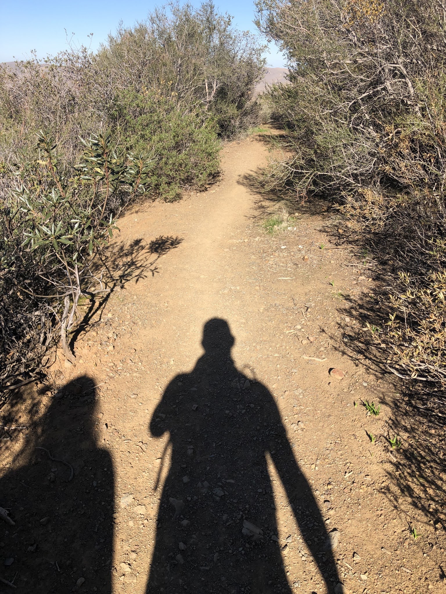
Now, in order to get to our semi-secluded lunch spot we got off the main gated road which was the primary walking path up the mountain, then we followed a side trail a short way until we saw a couple rocks that were just big enough for us to sit on. Then, we walked further off trail about 20 yards to arrive out our spot. So, to be clear, we were not on the main trail and not on the side trail, we were basically in our own place in a public park, with vast expanses of open land all around us and the rest of the hikers generally confined to the main trails. You might then imagine our surprise when, within the 90,000 acres in Mt. Diablo State Park, two moms brought their five kids right up to us, stood 8-10 feet away, and told their kids "you guys can play around here."

The kids saved the day, they weren't listening to their moms and followed the principle of diffusion, finding another place to play just far enough away that my wife and I didn't have to whisper to keep our conversation private. The mom's never did seem to "get it." Ignorance is bliss.
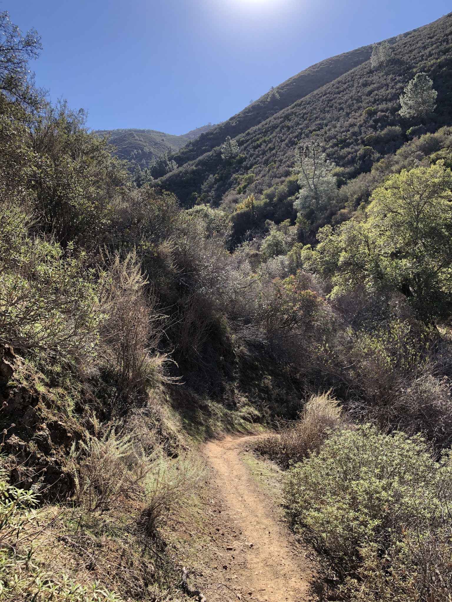
We packed up our trash, took one last squirt of water and proceeded a mile or so up the steep Donner Canyon Road (trail) which led us to the Meridian Point Trail. This trail took us through thick manzanitas trees before eventually leading to a large open meadow. Lots of little birds took refuge in there from the winds that were now blowing about as we climbed in elevation. It was good to see birds, because without them the only thing in this manzanitas tunnel was discarded bits of toilet paper. Ughhhh. After a short .6 miles of single track, we arrived at another single track trail, the Back Creek trail. This was more rugged and almost felt like something you would see in the Sierras, traversing a steep ravine with switchbacks and narrow passage through vegetation.

While on this Back Creek trail we looked out across the ridgeline to a giant quarry to our west. There's a lot of history to that quarry on Zion Mountain and this isn't really the time or place to address it. Classic battle of "We have to get gravel from somewhere" versus "My God, that is an ugly scar on the land." You can probably guess where my sentiments lie. Between the invasion of personal space, the toilet paper, and the half destroyed mountain to our west, this was not the kind of immersion into nature one might like, but it was about as good as one might expect near one of our nation's major population centers.
The Back Creek trail eventually climbed up and back around to the Donner Canyon Road. We'd been gone long enough that it was time to head back to the kiddos. We hung a left and proceeded back down the mountain. This trail had a very steep downhill slope and would be challenging during a rain event. I would call it a "quad burner" for the strain it put on our legs just above the kneecaps. Lots of fun though, gave our legs a good workout. We totaled 6.7 miles in 2.5 hours. If the ups and downs weren't so steep I would say we took a leisurely pace. But our legs were definitely sore by the time we made it back to the car. A great recovery hike on a lovely day.

I think we may well make it back here. With a little more time the summit isn't so far away. We've made to the summit from the other side, so it would be a fun challenge to attack it from this direction.